SHIFT- to change place, position, gears, direction
GEO - geographic : earth : ground : soil : spatial
Students as Practitioners
GIS: A CTE Course for the Modern Workforce

This is Albemarle
This is Albemarle is a field work assignment that enlists students to leverage drone technology to capture photography, videography, and photogrammetry of Albemarle County. The footage is then edited and combined with music as public service videos.
Click here or the image above to watch videos created by previous students.

Maps for Decision Making
Multiple times a year we press pause on learning skills and students spend time utilizing geographic inquiry and GIS to explore, analyze, and act on or inform a decision.
Read this news story to learn more about how my students embrace GIS and PBL
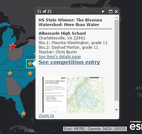
Map Competitions
Each year students are provided opportunities to enter their finished products in regional and national competitions. Click below to see two recent award winning entries.
2023 Esri Story Map Winner - Virginia